Burial Lane, Llantwit Major
Introduction
The photograph on this page of Burial Lane, Llantwit Major by Mick Lobb as part of the Geograph project.
The Geograph project started in 2005 with the aim of publishing, organising and preserving representative images for every square kilometre of Great Britain, Ireland and the Isle of Man.

There are currently over 7.5m images from over 14,400 individuals and you can help contribute to the project by visiting https://www.geograph.org.uk
Burial Lane, Llantwit Major
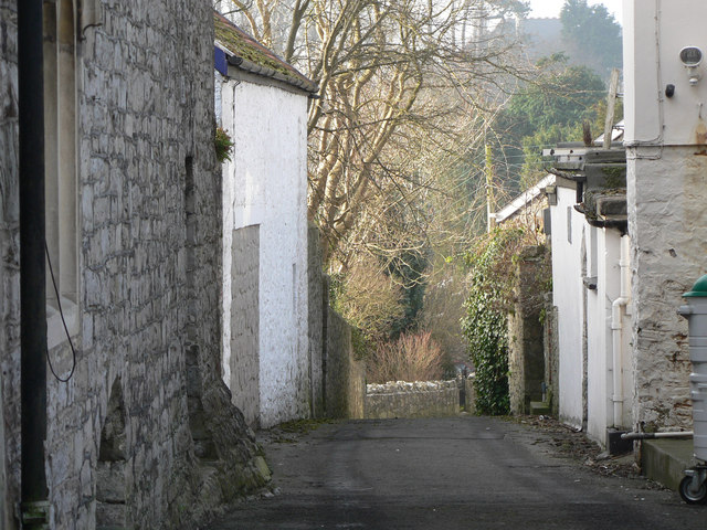
Image: © Mick Lobb Taken: 9 Jan 2009
The lane is to the rear of Church Street that leads down to the church. Was it so named because of someone's macabre sense of humour or did burial parties use the lane to lessen the impact of such sobering events on the townsfolk in carrying their sad burden down the street I wonder. Information update: 'Ceridwen' suggests that Burial Lane may be what is also known as a corpse, or coffin, road. This was the route that a coffin would be carried for burial from an outlying part of the parish, often over a considerable distance. From the map, it might be the case that one of the footpaths marked as leading towards the village was also part of the route, possibly more direct than following the road.
Images are licensed for reuse under creativecommons.org/licenses/by-sa/2.0
Image Location
Latitude
51.407521
Longitude
-3.486865