Oakdene Road
Introduction
The photograph on this page of Oakdene Road by Ian Capper as part of the Geograph project.
The Geograph project started in 2005 with the aim of publishing, organising and preserving representative images for every square kilometre of Great Britain, Ireland and the Isle of Man.

There are currently over 7.5m images from over 14,400 individuals and you can help contribute to the project by visiting https://www.geograph.org.uk
Oakdene Road
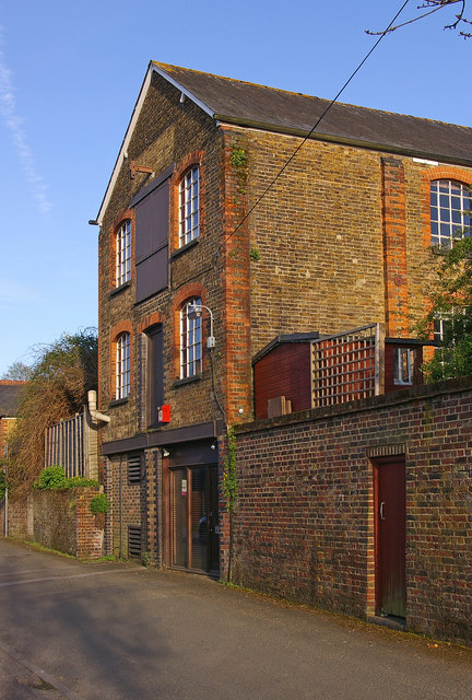
Image: © Ian Capper Taken: 2 May 2008
This former warehouse stands opposite the site of the former tannery in this part of Redhill (see Image). It is not clear whether it was directly connected with the tannery, though.
Images are licensed for reuse under creativecommons.org/licenses/by-sa/2.0
Image Location
Latitude
51.237916
Longitude
-0.173999