St. Barnabas Church Hall, Wolverley Road
Introduction
The photograph on this page of St. Barnabas Church Hall, Wolverley Road by P L Chadwick as part of the Geograph project.
The Geograph project started in 2005 with the aim of publishing, organising and preserving representative images for every square kilometre of Great Britain, Ireland and the Isle of Man.

There are currently over 7.5m images from over 14,400 individuals and you can help contribute to the project by visiting https://www.geograph.org.uk
St. Barnabas Church Hall, Wolverley Road
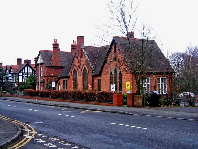
Image: © P L Chadwick Taken: 1 Jan 2009
Opposite to St. Barnabas Church, this building dates from 1874 and was originally a school. Today it is the Church Hall with part used as a nursery.
Images are licensed for reuse under creativecommons.org/licenses/by-sa/2.0
Image Location
Latitude
52.400699
Longitude
-2.267601