Royshaw Hill
Introduction
The photograph on this page of Royshaw Hill by Tony Mercer as part of the Geograph project.
The Geograph project started in 2005 with the aim of publishing, organising and preserving representative images for every square kilometre of Great Britain, Ireland and the Isle of Man.

There are currently over 7.5m images from over 14,400 individuals and you can help contribute to the project by visiting https://www.geograph.org.uk
Royshaw Hill
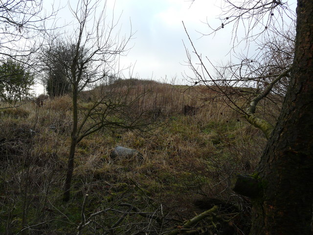
Image: © Tony Mercer Taken: 8 Jan 2009
Land bounded by Royshaw Close/Avenue, Pleck Farm Avenue and Pleckgate Road.
Images are licensed for reuse under creativecommons.org/licenses/by-sa/2.0
Image Location
Latitude
53.763042
Longitude
-2.481737