Former Oozebooth farmhouse
Introduction
The photograph on this page of Former Oozebooth farmhouse by Tony Mercer as part of the Geograph project.
The Geograph project started in 2005 with the aim of publishing, organising and preserving representative images for every square kilometre of Great Britain, Ireland and the Isle of Man.

There are currently over 7.5m images from over 14,400 individuals and you can help contribute to the project by visiting https://www.geograph.org.uk
Former Oozebooth farmhouse
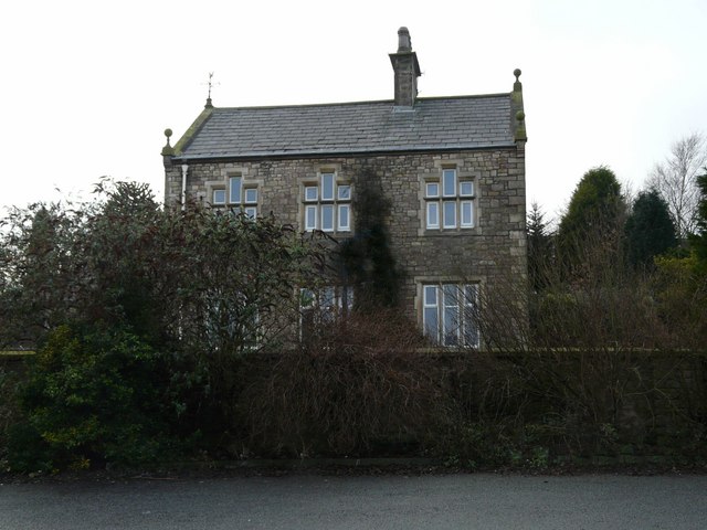
Image: © Tony Mercer Taken: 8 Jan 2009
This old farm was formerly the site of a pinfold. Stray cattle on Farmer A's land would be brought here to be held until the owner, Farmer B collected it. The pinfolder would give some token, which he would recognise later, to A, who would then pass it to B, after any payments for damage etc. had been paid. B would then give the token to the pinfolder who would then release the cattle after further fees for keeping were paid.
Images are licensed for reuse under creativecommons.org/licenses/by-sa/2.0
Image Location
Latitude
53.759468
Longitude
-2.476539