Council Offices, Eastgate, Honley
Introduction
The photograph on this page of Council Offices, Eastgate, Honley by Humphrey Bolton as part of the Geograph project.
The Geograph project started in 2005 with the aim of publishing, organising and preserving representative images for every square kilometre of Great Britain, Ireland and the Isle of Man.

There are currently over 7.5m images from over 14,400 individuals and you can help contribute to the project by visiting https://www.geograph.org.uk
Council Offices, Eastgate, Honley
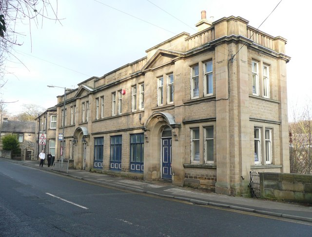
Image: © Humphrey Bolton Taken: 8 Jan 2009
These go back to the days of true local government, when Honley had its own Urban District Council. The building is tapered, fitting in between the road and the river.
Images are licensed for reuse under creativecommons.org/licenses/by-sa/2.0
Image Location
Latitude
53.604378
Longitude
-1.789901