Thorngarth Lane, Barrow Upon Humber
Introduction
The photograph on this page of Thorngarth Lane, Barrow Upon Humber by David Wright as part of the Geograph project.
The Geograph project started in 2005 with the aim of publishing, organising and preserving representative images for every square kilometre of Great Britain, Ireland and the Isle of Man.

There are currently over 7.5m images from over 14,400 individuals and you can help contribute to the project by visiting https://www.geograph.org.uk
Thorngarth Lane, Barrow Upon Humber
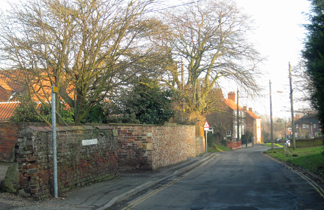
Image: © David Wright Taken: 8 Jan 2009
The brick wall to the left of the picture marks the frontage of Gooseman's Yard.
Images are licensed for reuse under creativecommons.org/licenses/by-sa/2.0
Image Location
Latitude
53.678623
Longitude
-0.378984