McGlashan's Barn
Introduction
The photograph on this page of McGlashan's Barn by Rob Burke as part of the Geograph project.
The Geograph project started in 2005 with the aim of publishing, organising and preserving representative images for every square kilometre of Great Britain, Ireland and the Isle of Man.

There are currently over 7.5m images from over 14,400 individuals and you can help contribute to the project by visiting https://www.geograph.org.uk
McGlashan's Barn
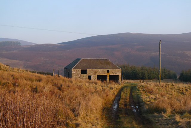
Image: © Rob Burke Taken: 30 Dec 2008
The building looks disused now, but still in good condition. Perhaps it was a steading. (The location is named on the OS 1:25000 map and 1940s OS map as Easter Peathaugh.)
Images are licensed for reuse under creativecommons.org/licenses/by-sa/2.0
Image Location
Latitude
56.703394
Longitude
-3.257203