Muirhouse
Introduction
The photograph on this page of Muirhouse by Richard Webb as part of the Geograph project.
The Geograph project started in 2005 with the aim of publishing, organising and preserving representative images for every square kilometre of Great Britain, Ireland and the Isle of Man.

There are currently over 7.5m images from over 14,400 individuals and you can help contribute to the project by visiting https://www.geograph.org.uk
Muirhouse
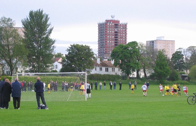
Image: © Richard Webb Taken: 19 May 2005
Park football on the Civil Service playing fields. Beyond are houses and tower blocks of Muirhouse.
Images are licensed for reuse under creativecommons.org/licenses/by-sa/2.0
Image Location
Latitude
55.975945
Longitude
-3.259459