The Great Aycliffe Way
Introduction
The photograph on this page of The Great Aycliffe Way by Thomas Keetley as part of the Geograph project.
The Geograph project started in 2005 with the aim of publishing, organising and preserving representative images for every square kilometre of Great Britain, Ireland and the Isle of Man.

There are currently over 7.5m images from over 14,400 individuals and you can help contribute to the project by visiting https://www.geograph.org.uk
The Great Aycliffe Way
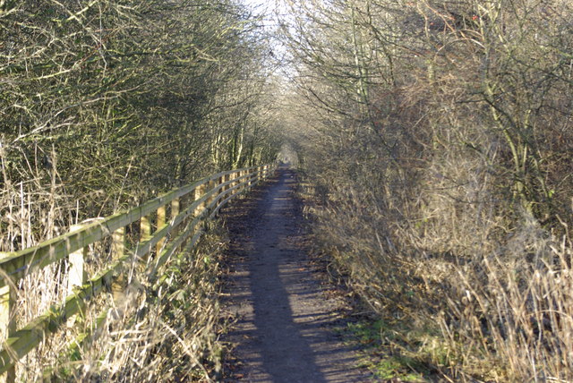
Image: © Thomas Keetley Taken: 8 Jan 2009
The Great Aycliffe Way along the old Railway track which connected the Stillington branch and Bishop Auckland lines and once known as the "Wild Goose Line".
Images are licensed for reuse under creativecommons.org/licenses/by-sa/2.0
Image Location
Latitude
54.611725
Longitude
-1.564273