Riverside paths near Teddington Lock
Introduction
The photograph on this page of Riverside paths near Teddington Lock by Hugh Venables as part of the Geograph project.
The Geograph project started in 2005 with the aim of publishing, organising and preserving representative images for every square kilometre of Great Britain, Ireland and the Isle of Man.

There are currently over 7.5m images from over 14,400 individuals and you can help contribute to the project by visiting https://www.geograph.org.uk
Riverside paths near Teddington Lock
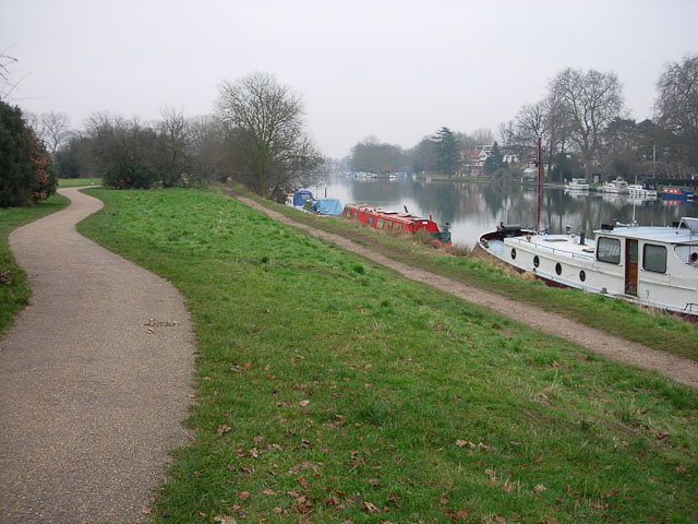
Image: © Hugh Venables Taken: 31 Dec 2008
The upper path is joint between cyclists and pedestrians, the lower is for pedestrians. Confusingly this swaps round further upriver.
Images are licensed for reuse under creativecommons.org/licenses/by-sa/2.0
Image Location
Latitude
51.429308
Longitude
-0.31511