Site of buildings, Sherburn Road, Rastrick
Introduction
The photograph on this page of Site of buildings, Sherburn Road, Rastrick by Humphrey Bolton as part of the Geograph project.
The Geograph project started in 2005 with the aim of publishing, organising and preserving representative images for every square kilometre of Great Britain, Ireland and the Isle of Man.

There are currently over 7.5m images from over 14,400 individuals and you can help contribute to the project by visiting https://www.geograph.org.uk
Site of buildings, Sherburn Road, Rastrick
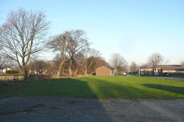
Image: © Humphrey Bolton Taken: 6 Jan 2009
There were four blocks here when the maps.live aerial photograph was taken, flats or houses, and some more on nearby sites that are now open grass areas. Why were they demolished?
Images are licensed for reuse under creativecommons.org/licenses/by-sa/2.0
Image Location
Latitude
53.690692
Longitude
-1.80613