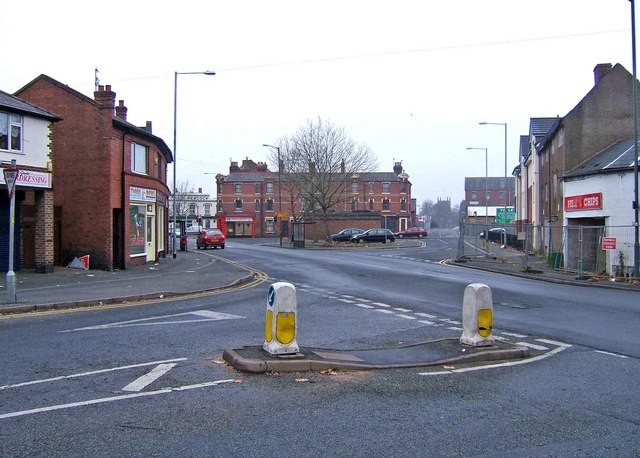
Horsefair
Introduction
The photograph on this page of Horsefair by P L Chadwick as part of the Geograph project.
The Geograph project started in 2005 with the aim of publishing, organising and preserving representative images for every square kilometre of Great Britain, Ireland and the Isle of Man.
There are currently over 7.5m images from over 14,400 individuals and you can help contribute to the project by visiting https://www.geograph.org.uk

Image: © P L Chadwick Taken: 1 Jan 2009
The three sides of Horsefair can be glimpsed in this view, giving some idea of how run down this part of Kidderminster has become. The car on the left is passing the post office and Bargain Booze Image In the far distance the whitish building is The Old Peacock pub Image The redbrick buildings in the middle and the closed public convenience in front of them seem likely to be demolished. On the right are new three storey residential units but immediately next to these are abandoned residences and a closed fish and chip shop Image

