Portinscale
Introduction
The photograph on this page of Portinscale by Michael Graham as part of the Geograph project.
The Geograph project started in 2005 with the aim of publishing, organising and preserving representative images for every square kilometre of Great Britain, Ireland and the Isle of Man.

There are currently over 7.5m images from over 14,400 individuals and you can help contribute to the project by visiting https://www.geograph.org.uk
Portinscale
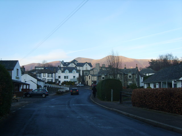
Image: © Michael Graham Taken: 4 Jan 2009
The place name description may raise a few eyebrows locally. 'The hut of the harlots'. 'Porqeneschal 1160'(whaley 2006).
Images are licensed for reuse under creativecommons.org/licenses/by-sa/2.0
Image Location
Latitude
54.601473
Longitude
-3.159384