Unusual stone house, Baxterley
Introduction
The photograph on this page of Unusual stone house, Baxterley by Rob Farrow as part of the Geograph project.
The Geograph project started in 2005 with the aim of publishing, organising and preserving representative images for every square kilometre of Great Britain, Ireland and the Isle of Man.

There are currently over 7.5m images from over 14,400 individuals and you can help contribute to the project by visiting https://www.geograph.org.uk
Unusual stone house, Baxterley
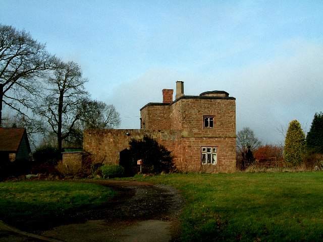
Image: © Rob Farrow Taken: 22 Jan 2006
Whether this building is as old as it looks, or has been made from old materials I don't know. It is on the road to Hurley out of Baxterley. The EH listing https://historicengland.org.uk/listing/the-list/list-entry/1034742 suggests that it is "probably" C18th but in a C16th style. This lane also leads to the interesting Baxterley Church.
Images are licensed for reuse under creativecommons.org/licenses/by-sa/2.0
Image Location
Latitude
52.57021
Longitude
-1.591704