Herberts Hole - old hedge, new hedge
Introduction
The photograph on this page of Herberts Hole - old hedge, new hedge by Cathy Cox as part of the Geograph project.
The Geograph project started in 2005 with the aim of publishing, organising and preserving representative images for every square kilometre of Great Britain, Ireland and the Isle of Man.

There are currently over 7.5m images from over 14,400 individuals and you can help contribute to the project by visiting https://www.geograph.org.uk
Herberts Hole - old hedge, new hedge
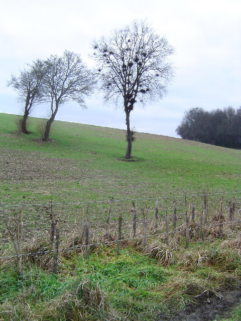
Image: © Cathy Cox Taken: 2 Jan 2006
Looking south west from the footpath in the bottom of the dry valley of Herberts Hole towards Black Grove wood. The trees in the middle ground are probably on an old hedgeline since removed to create a large field, currently planted with beans. A new hedge has been planted along the footpath in the foreground.
Images are licensed for reuse under creativecommons.org/licenses/by-sa/2.0
Image Location
Latitude
51.711801
Longitude
-0.66114