Near the Blunsdon by-pass, Blunsdon
Introduction
The photograph on this page of Near the Blunsdon by-pass, Blunsdon by Brian Robert Marshall as part of the Geograph project.
The Geograph project started in 2005 with the aim of publishing, organising and preserving representative images for every square kilometre of Great Britain, Ireland and the Isle of Man.

There are currently over 7.5m images from over 14,400 individuals and you can help contribute to the project by visiting https://www.geograph.org.uk
Near the Blunsdon by-pass, Blunsdon
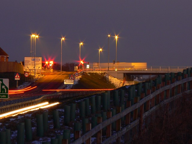
Image: © Brian Robert Marshall Taken: 6 Jan 2009
The viewpoint is a bridleway. The image was obtained using a telephoto lens. Everything except the bridge is in this square.
Images are licensed for reuse under creativecommons.org/licenses/by-sa/2.0
Image Location


Leaflet Map data © OpenStreetMap
Latitude
51.609367
Longitude
-1.790561