Track near the Blunsdon by-pass, Blunsdon
Introduction
The photograph on this page of Track near the Blunsdon by-pass, Blunsdon by Brian Robert Marshall as part of the Geograph project.
The Geograph project started in 2005 with the aim of publishing, organising and preserving representative images for every square kilometre of Great Britain, Ireland and the Isle of Man.

There are currently over 7.5m images from over 14,400 individuals and you can help contribute to the project by visiting https://www.geograph.org.uk
Track near the Blunsdon by-pass, Blunsdon
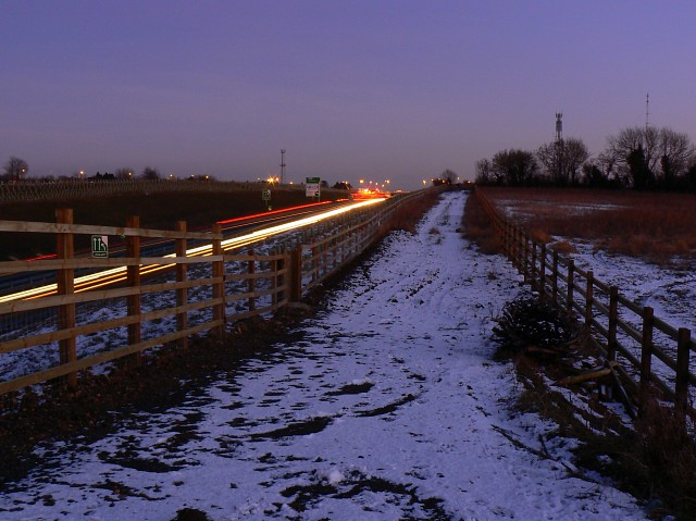
Image: © Brian Robert Marshall Taken: 6 Jan 2009
The new by-pass can be seen at the left. The track isn't a right of way although it is used by dog-walkers. The viewpoint is a bridleway which, for the time being, comes to a stop at the bridge seen in this image http://www.geograph.org.uk/photo/1050805 It will be opened up at some stage no doubt.
Images are licensed for reuse under creativecommons.org/licenses/by-sa/2.0
Image Location
Latitude
51.611355
Longitude
-1.796617