Chalfont St Giles: Mill Farm ford
Introduction
The photograph on this page of Chalfont St Giles: Mill Farm ford by Nigel Cox as part of the Geograph project.
The Geograph project started in 2005 with the aim of publishing, organising and preserving representative images for every square kilometre of Great Britain, Ireland and the Isle of Man.

There are currently over 7.5m images from over 14,400 individuals and you can help contribute to the project by visiting https://www.geograph.org.uk
Chalfont St Giles: Mill Farm ford
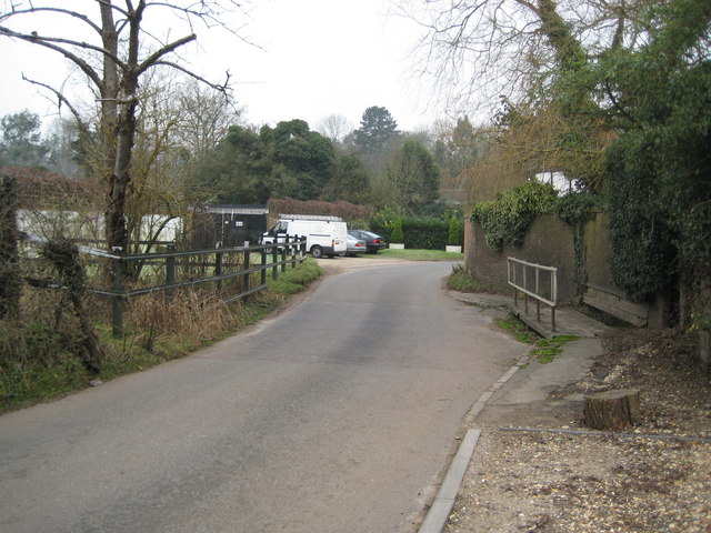
Image: © Nigel Cox Taken: 31 Dec 2008
A braid of the River Misbourne passes over Mill Lane here, although it was dry on the day that the photograph was taken and appeared to have been so for some time. The footbridge on the right enables a potentially dry passage.
Images are licensed for reuse under creativecommons.org/licenses/by-sa/2.0
Image Location
Latitude
51.636951
Longitude
-0.573897