Peterborough Road, London SW6
Introduction
The photograph on this page of Peterborough Road, London SW6 by Paul Leonard as part of the Geograph project.
The Geograph project started in 2005 with the aim of publishing, organising and preserving representative images for every square kilometre of Great Britain, Ireland and the Isle of Man.

There are currently over 7.5m images from over 14,400 individuals and you can help contribute to the project by visiting https://www.geograph.org.uk
Peterborough Road, London SW6
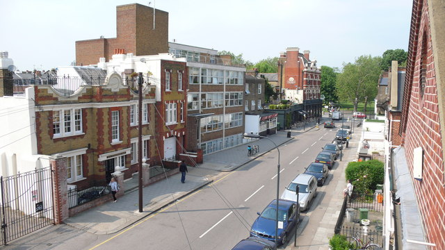
Image: © Paul Leonard Taken: 14 May 2008
View north over Peterborough Road towards Parsons Green [trees in the background]. The 'Duke on The Green' public house is at the end of the road on the left [previously known as 'The Duke of Cumberland'] - Evening Standard Pub of the Year 1971.
Images are licensed for reuse under creativecommons.org/licenses/by-sa/2.0
Image Location
Latitude
51.47254
Longitude
-0.198757