Hammonds Ridge Meadow
Introduction
The photograph on this page of Hammonds Ridge Meadow by Simon Carey as part of the Geograph project.
The Geograph project started in 2005 with the aim of publishing, organising and preserving representative images for every square kilometre of Great Britain, Ireland and the Isle of Man.

There are currently over 7.5m images from over 14,400 individuals and you can help contribute to the project by visiting https://www.geograph.org.uk
Hammonds Ridge Meadow
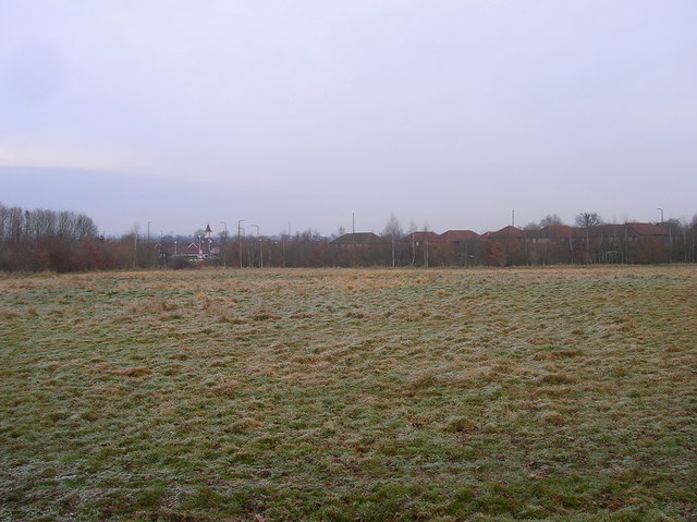
Image: © Simon Carey Taken: 4 Jan 2009
Part of the Green Crescent an area of green open access that connects Bedelands Farm nature reserve in the north then swings westwards around the boundary of Burgess Hill before ending at Batchelors Farm reserve in the south. The streetlights mark Jane Murray Way, the A273, whilst the building to the left is a Tesco superstore. The Priory estate, also known as the Tesco estate, is to the right.
Images are licensed for reuse under creativecommons.org/licenses/by-sa/2.0
Image Location
Latitude
50.948203
Longitude
-0.149343