Unusual town map outside Felixstowe station
Introduction
The photograph on this page of Unusual town map outside Felixstowe station by Oxymoron as part of the Geograph project.
The Geograph project started in 2005 with the aim of publishing, organising and preserving representative images for every square kilometre of Great Britain, Ireland and the Isle of Man.

There are currently over 7.5m images from over 14,400 individuals and you can help contribute to the project by visiting https://www.geograph.org.uk
Unusual town map outside Felixstowe station
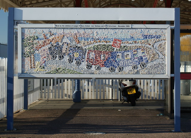
Image: © Oxymoron Taken: 6 Jan 2009
The map was: "Made by the children of Langar primary school, 'one' Railway, and ESTA Felixstowe - November 2005"
Images are licensed for reuse under creativecommons.org/licenses/by-sa/2.0
Image Location
Latitude
51.966996
Longitude
1.351158