Pook Bourne
Introduction
The photograph on this page of Pook Bourne by Simon Carey as part of the Geograph project.
The Geograph project started in 2005 with the aim of publishing, organising and preserving representative images for every square kilometre of Great Britain, Ireland and the Isle of Man.

There are currently over 7.5m images from over 14,400 individuals and you can help contribute to the project by visiting https://www.geograph.org.uk
Pook Bourne
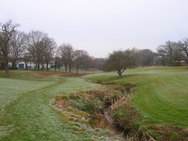
Image: © Simon Carey Taken: 4 Jan 2009
A small stream that rises not far from here and is a tributary of Herrings Stream joining that watercourse east of Hickstead. The park provides a small area of greenery amidst the Victoria Business Park, the older units being to the east and the newer ones to the west.
Images are licensed for reuse under creativecommons.org/licenses/by-sa/2.0
Image Location
Latitude
50.953722
Longitude
-0.151401