Frosty Field near High Hatch Lane
Introduction
The photograph on this page of Frosty Field near High Hatch Lane by Simon Carey as part of the Geograph project.
The Geograph project started in 2005 with the aim of publishing, organising and preserving representative images for every square kilometre of Great Britain, Ireland and the Isle of Man.

There are currently over 7.5m images from over 14,400 individuals and you can help contribute to the project by visiting https://www.geograph.org.uk
Frosty Field near High Hatch Lane
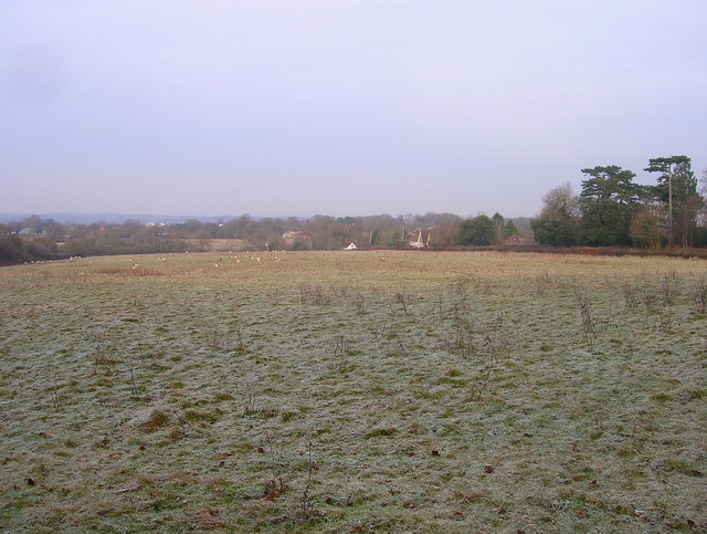
Image: © Simon Carey Taken: 4 Jan 2009
The cloud cover has prevented the sun from defrosting the surface, taken at 1.20pm with some sun trying to break through but having minimal impact. The houses in the distance on the right are in High Hatch Lane with Goddard's Green just visible in the distance on the left.
Images are licensed for reuse under creativecommons.org/licenses/by-sa/2.0
Image Location
Latitude
50.959864
Longitude
-0.170239