Job's Lane
Introduction
The photograph on this page of Job's Lane by Simon Carey as part of the Geograph project.
The Geograph project started in 2005 with the aim of publishing, organising and preserving representative images for every square kilometre of Great Britain, Ireland and the Isle of Man.

There are currently over 7.5m images from over 14,400 individuals and you can help contribute to the project by visiting https://www.geograph.org.uk
Job's Lane
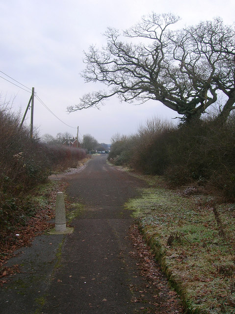
Image: © Simon Carey Taken: 4 Jan 2009
The remains of the original lane that was truncated when the new A2300 was built in 1997. Previously the lane formed a crossroads on the old A23 at Hickstead and was a well known rat run between that and Burgess Hill. In the foreground the lane has become a cycle and pedestrian route whilst vehicles still have access as far as Northlands Farmhouse.
Images are licensed for reuse under creativecommons.org/licenses/by-sa/2.0
Image Location
Latitude
50.968362
Longitude
-0.190415