Ruined Cottage
Introduction
The photograph on this page of Ruined Cottage by CL Branwhite as part of the Geograph project.
The Geograph project started in 2005 with the aim of publishing, organising and preserving representative images for every square kilometre of Great Britain, Ireland and the Isle of Man.

There are currently over 7.5m images from over 14,400 individuals and you can help contribute to the project by visiting https://www.geograph.org.uk
Ruined Cottage
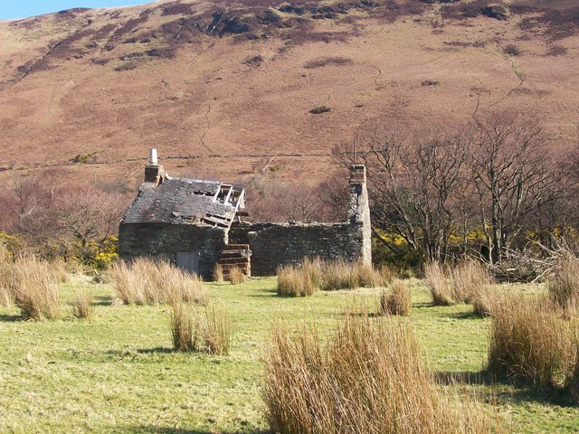
Image: © CL Branwhite Taken: 18 Mar 2008
On the opposite side of the road from the church, but further down towards the sea.
Images are licensed for reuse under creativecommons.org/licenses/by-sa/2.0
Image Location
Latitude
55.701961
Longitude
-5.284544