Hillockhead of Muldearie
Introduction
The photograph on this page of Hillockhead of Muldearie by Anne Burgess as part of the Geograph project.
The Geograph project started in 2005 with the aim of publishing, organising and preserving representative images for every square kilometre of Great Britain, Ireland and the Isle of Man.

There are currently over 7.5m images from over 14,400 individuals and you can help contribute to the project by visiting https://www.geograph.org.uk
Hillockhead of Muldearie
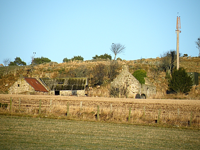
Image: © Anne Burgess Taken: 5 Jan 2009
From this rather distant spot, it looks as if Hillockhead is one of the many farms which are abandoned and becoming derelict.
Images are licensed for reuse under creativecommons.org/licenses/by-sa/2.0
Image Location
Latitude
57.544849
Longitude
-3.015559