The View from Balnabreich
Introduction
The photograph on this page of The View from Balnabreich by Anne Burgess as part of the Geograph project.
The Geograph project started in 2005 with the aim of publishing, organising and preserving representative images for every square kilometre of Great Britain, Ireland and the Isle of Man.

There are currently over 7.5m images from over 14,400 individuals and you can help contribute to the project by visiting https://www.geograph.org.uk
The View from Balnabreich
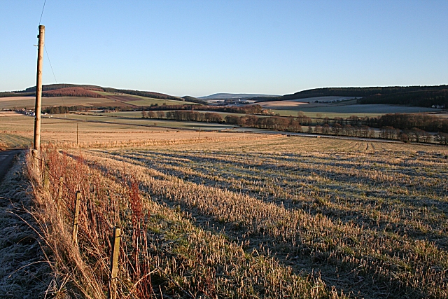
Image: © Anne Burgess Taken: 5 Jan 2009
Looking down from the slightly elevated farm of Balnabreich towards Mulben. The skyline at left of the Hill of Muldearie, and Meikle Balloch is further away.
Images are licensed for reuse under creativecommons.org/licenses/by-sa/2.0
Image Location
Latitude
57.536566
Longitude
-3.092999