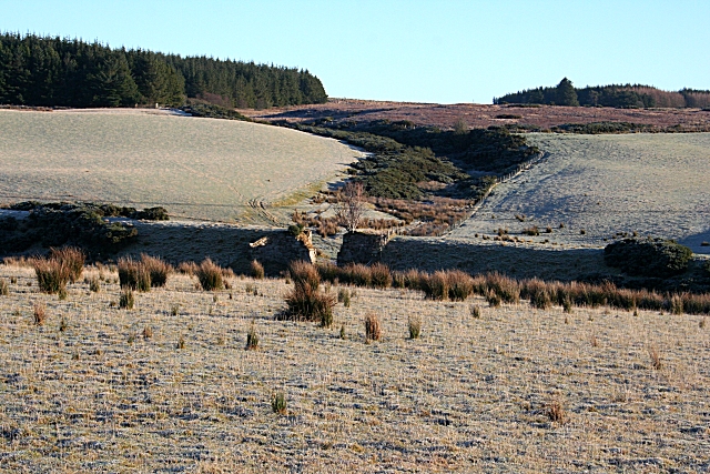
Millstone Hill
Introduction
The photograph on this page of Millstone Hill by Anne Burgess as part of the Geograph project.
The Geograph project started in 2005 with the aim of publishing, organising and preserving representative images for every square kilometre of Great Britain, Ireland and the Isle of Man.
There are currently over 7.5m images from over 14,400 individuals and you can help contribute to the project by visiting https://www.geograph.org.uk

Image: © Anne Burgess Taken: 5 Jan 2009
The prominent gully is the course of the White Stripe (the term 'stripe' means a stream) which drains the south-west flank of Millstone Hill. Its shape, and its size relative to its catchment area, suggest that it is in fact occupying a glacial meltwater channel. The linear shadow just beyond the foreground field is the embankment of the former Keith to Buckie railway line, the gap in it marking where there was originally a bridge.

