Track to Walkerstrough
Introduction
The photograph on this page of Track to Walkerstrough by Anne Burgess as part of the Geograph project.
The Geograph project started in 2005 with the aim of publishing, organising and preserving representative images for every square kilometre of Great Britain, Ireland and the Isle of Man.

There are currently over 7.5m images from over 14,400 individuals and you can help contribute to the project by visiting https://www.geograph.org.uk
Track to Walkerstrough
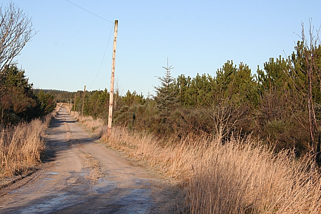
Image: © Anne Burgess Taken: 5 Jan 2009
The map shows this track as a dead end, but a sign at the end of the road points to Walkerstrough, and a relative of the family who lived here for 143 years has confirmed that is is the access road.
Images are licensed for reuse under creativecommons.org/licenses/by-sa/2.0
Image Location
Latitude
57.584912
Longitude
-3.015672