St.Johns Street, Kidderminster
Introduction
The photograph on this page of St.Johns Street, Kidderminster by P L Chadwick as part of the Geograph project.
The Geograph project started in 2005 with the aim of publishing, organising and preserving representative images for every square kilometre of Great Britain, Ireland and the Isle of Man.

There are currently over 7.5m images from over 14,400 individuals and you can help contribute to the project by visiting https://www.geograph.org.uk
St.Johns Street, Kidderminster
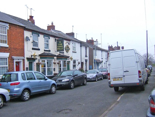
Image: © P L Chadwick Taken: 1 Jan 2009
As far as vehicles are concerned, St. Johns Street is a cul-de-sac. The only access is via Crowther Street. The road is very full with parked vehicles. On the left can be seen The King Billy public house. Image Image
Images are licensed for reuse under creativecommons.org/licenses/by-sa/2.0
Image Location
Latitude
52.388402
Longitude
-2.259151