18thC Farmhouse in Kiplin.
Introduction
The photograph on this page of 18thC Farmhouse in Kiplin. by Matthew Hatton as part of the Geograph project.
The Geograph project started in 2005 with the aim of publishing, organising and preserving representative images for every square kilometre of Great Britain, Ireland and the Isle of Man.

There are currently over 7.5m images from over 14,400 individuals and you can help contribute to the project by visiting https://www.geograph.org.uk
18thC Farmhouse in Kiplin.
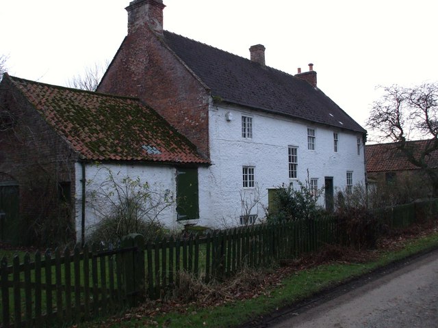
Image: © Matthew Hatton Taken: 4 Jan 2009
Images are licensed for reuse under creativecommons.org/licenses/by-sa/2.0
Image Location
Latitude
54.36829
Longitude
-1.570546