Reeds Lane
Introduction
The photograph on this page of Reeds Lane by Simon Carey as part of the Geograph project.
The Geograph project started in 2005 with the aim of publishing, organising and preserving representative images for every square kilometre of Great Britain, Ireland and the Isle of Man.

There are currently over 7.5m images from over 14,400 individuals and you can help contribute to the project by visiting https://www.geograph.org.uk
Reeds Lane
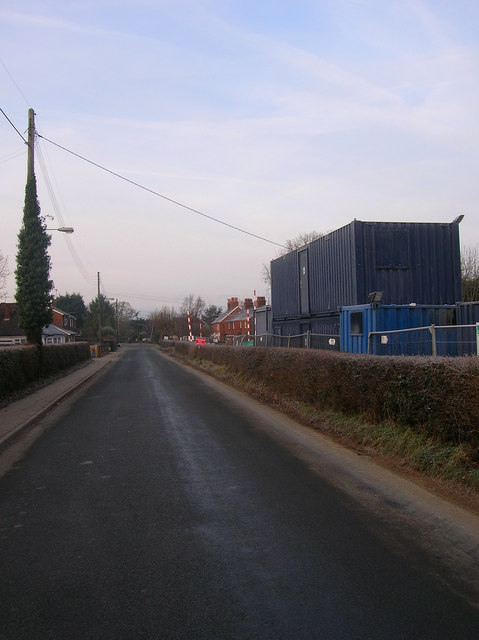
Image: © Simon Carey Taken: 4 Jan 2009
Minor road linking London Road, the B2118, with Henfield Road, the B2116, at High Cross. Major mains work is occurring hence the temporary cabins on the right.
Images are licensed for reuse under creativecommons.org/licenses/by-sa/2.0
Image Location
Latitude
50.949089
Longitude
-0.200275