Furzeland Way
Introduction
The photograph on this page of Furzeland Way by Simon Carey as part of the Geograph project.
The Geograph project started in 2005 with the aim of publishing, organising and preserving representative images for every square kilometre of Great Britain, Ireland and the Isle of Man.

There are currently over 7.5m images from over 14,400 individuals and you can help contribute to the project by visiting https://www.geograph.org.uk
Furzeland Way
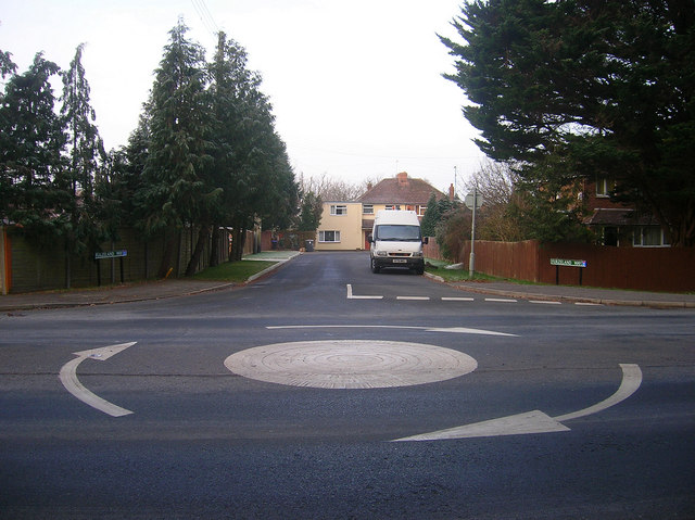
Image: © Simon Carey Taken: 4 Jan 2009
Small postwar cul-de-sac in the village of Sayers Common for many years those living in this road would have to try and join the main A23 as it went through the village. Since the 1990s, London Road has been downgraded to the B2118 and it is far easier to leave this road.
Images are licensed for reuse under creativecommons.org/licenses/by-sa/2.0
Image Location
Latitude
50.947094
Longitude
-0.199213