Holyhead Road and lay-by
Introduction
The photograph on this page of Holyhead Road and lay-by by E Gammie as part of the Geograph project.
The Geograph project started in 2005 with the aim of publishing, organising and preserving representative images for every square kilometre of Great Britain, Ireland and the Isle of Man.

There are currently over 7.5m images from over 14,400 individuals and you can help contribute to the project by visiting https://www.geograph.org.uk
Holyhead Road and lay-by
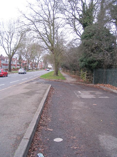
Image: © E Gammie Taken: 25 Dec 2008
At this point the river Sherbourne runs very close to the road and a plaque on the fencing informs us that "this lay-by was originally constructed to enable water to be taken from the river Sherbourne by steam lorries operating from the flour mill in Cox Street. It was in use until circa 1949". This may be the flour mill referred to: http://www.geograph.org.uk/photo/2266454 . The Holyhead Road (A4114) was part of the London to Holyhead turnpike system and this straight bit between the city centre and Allesley bypassed the old Allesley road - now called the Allesley Old Road. Still a main artery out of the city, it is provided with on-road cycle lanes.
Images are licensed for reuse under creativecommons.org/licenses/by-sa/2.0
Image Location
Latitude
52.419117
Longitude
-1.550018