Talbot Village, White Stone
Introduction
The photograph on this page of Talbot Village, White Stone by Mike Faherty as part of the Geograph project.
The Geograph project started in 2005 with the aim of publishing, organising and preserving representative images for every square kilometre of Great Britain, Ireland and the Isle of Man.

There are currently over 7.5m images from over 14,400 individuals and you can help contribute to the project by visiting https://www.geograph.org.uk
Talbot Village, White Stone
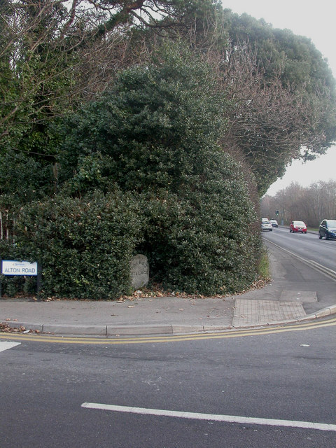
Image: © Mike Faherty Taken: 4 Jan 2009
Local name for Talbot Village boundary stone, at the junction of Wallisdown & Alton Roads & marking the south-eastern corner of the village. Tombstone-shaped, simple lettering TALBOT (curving) / VILLAGE. Probably erected when the village was built, in the 1860s-70s.
Images are licensed for reuse under creativecommons.org/licenses/by-sa/2.0
Image Location
Latitude
50.745575
Longitude
-1.904731