Orchard Way
Introduction
The photograph on this page of Orchard Way by Simon Carey as part of the Geograph project.
The Geograph project started in 2005 with the aim of publishing, organising and preserving representative images for every square kilometre of Great Britain, Ireland and the Isle of Man.

There are currently over 7.5m images from over 14,400 individuals and you can help contribute to the project by visiting https://www.geograph.org.uk
Orchard Way
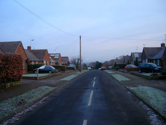
Image: © Simon Carey Taken: 4 Jan 2009
Part of the West Town suburb of Hurstpiepoint is this post war cul-de-sac. Taken from the junction with Albourne Road, the B2116.
Images are licensed for reuse under creativecommons.org/licenses/by-sa/2.0
Image Location
Latitude
50.935554
Longitude
-0.185711