Gorseyfields and Robertsons
Introduction
The photograph on this page of Gorseyfields and Robertsons by Paul Holmes as part of the Geograph project.
The Geograph project started in 2005 with the aim of publishing, organising and preserving representative images for every square kilometre of Great Britain, Ireland and the Isle of Man.

There are currently over 7.5m images from over 14,400 individuals and you can help contribute to the project by visiting https://www.geograph.org.uk
Gorseyfields and Robertsons
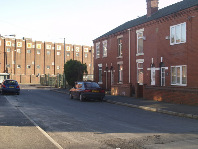
Image: © Paul Holmes Taken: 13 Feb 2008
On the right are five houses, with only four shown. In 1914 they were in the ownership of Mr J Cooke, in what was then Union Street. The Holmes family were renting the middle property and did so until my Grandmother's death in 1963.
Images are licensed for reuse under creativecommons.org/licenses/by-sa/2.0
Image Location
Latitude
53.475941
Longitude
-2.14445