Appletreeleaves by Galashiels Golf Course
Introduction
The photograph on this page of Appletreeleaves by Galashiels Golf Course by Walter Baxter as part of the Geograph project.
The Geograph project started in 2005 with the aim of publishing, organising and preserving representative images for every square kilometre of Great Britain, Ireland and the Isle of Man.

There are currently over 7.5m images from over 14,400 individuals and you can help contribute to the project by visiting https://www.geograph.org.uk
Appletreeleaves by Galashiels Golf Course
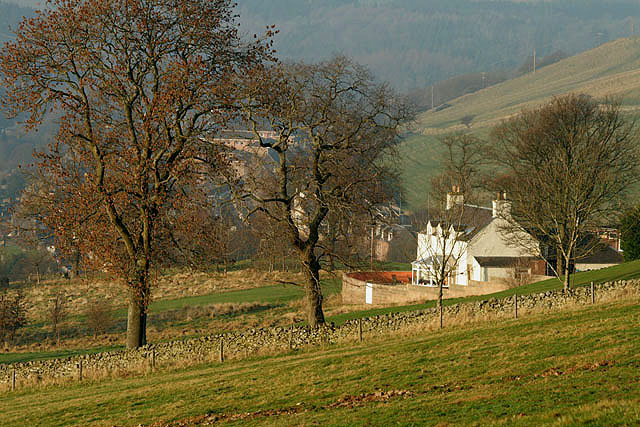
Image: © Walter Baxter Taken: 1 Jan 2009
The house on the right is named after Appletreeleaves Tower at Galashiels Golf Course Image The greenkeeper used to live in this house when the course was municipal, but when the club took over the running of the course in 1992 from the former Ettrick & Lauderdale District Council, the property was sold and it is now a private dwelling house.
Images are licensed for reuse under creativecommons.org/licenses/by-sa/2.0
Image Location
Latitude
55.620707
Longitude
-2.803741