The Street, Walberswick
Introduction
The photograph on this page of The Street, Walberswick by Hugh Venables as part of the Geograph project.
The Geograph project started in 2005 with the aim of publishing, organising and preserving representative images for every square kilometre of Great Britain, Ireland and the Isle of Man.

There are currently over 7.5m images from over 14,400 individuals and you can help contribute to the project by visiting https://www.geograph.org.uk
The Street, Walberswick
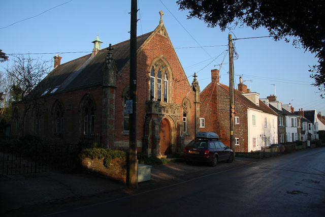
Image: © Hugh Venables Taken: 29 Dec 2008
The nearest building was formerly a Methodist Chapel and has since been converted to a family house available to rent as a holiday home.
Images are licensed for reuse under creativecommons.org/licenses/by-sa/2.0
Image Location
Latitude
52.313532
Longitude
1.660391