Track near the Swale
Introduction
The photograph on this page of Track near the Swale by Gordon Hatton as part of the Geograph project.
The Geograph project started in 2005 with the aim of publishing, organising and preserving representative images for every square kilometre of Great Britain, Ireland and the Isle of Man.

There are currently over 7.5m images from over 14,400 individuals and you can help contribute to the project by visiting https://www.geograph.org.uk
Track near the Swale
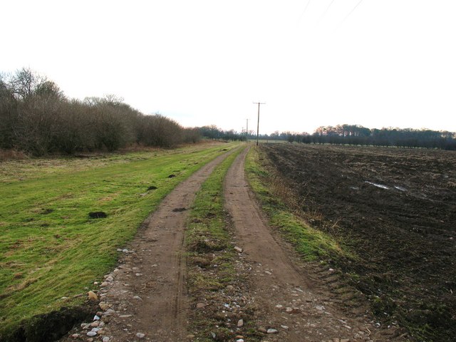
Image: © Gordon Hatton Taken: 4 Jan 2009
Track from Kiplin towards the River Swale, which is beyond the scrub to the left. On the right is rich alluvial soil which has been freshly ploughed. This grid square has been an elusive one for some time due to a lack of public rights of way. Entered with permission from Kiplin Mill.
Images are licensed for reuse under creativecommons.org/licenses/by-sa/2.0
Image Location
Latitude
54.366234
Longitude
-1.573646