Swale floodbank at Kiplin
Introduction
The photograph on this page of Swale floodbank at Kiplin by Gordon Hatton as part of the Geograph project.
The Geograph project started in 2005 with the aim of publishing, organising and preserving representative images for every square kilometre of Great Britain, Ireland and the Isle of Man.

There are currently over 7.5m images from over 14,400 individuals and you can help contribute to the project by visiting https://www.geograph.org.uk
Swale floodbank at Kiplin
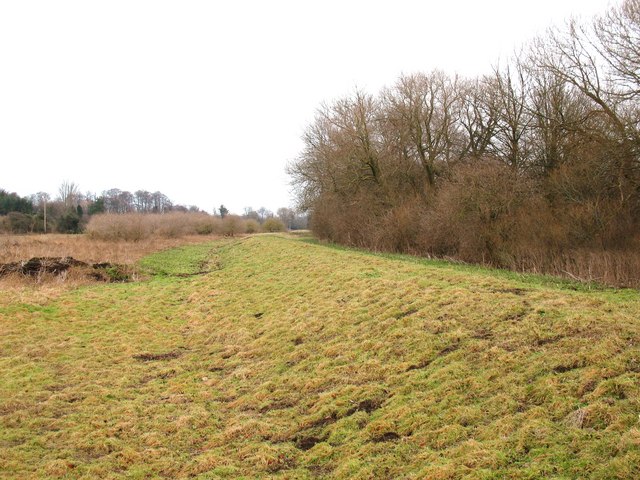
Image: © Gordon Hatton Taken: 4 Jan 2009
The River Swale is noted for its sudden floods, so there are flood banks along much of its length through the vale below Catterick Bridge. The river is a good 50m or more to the right beyond the trees and scrub.
Images are licensed for reuse under creativecommons.org/licenses/by-sa/2.0
Image Location
Latitude
54.365695
Longitude
-1.573651