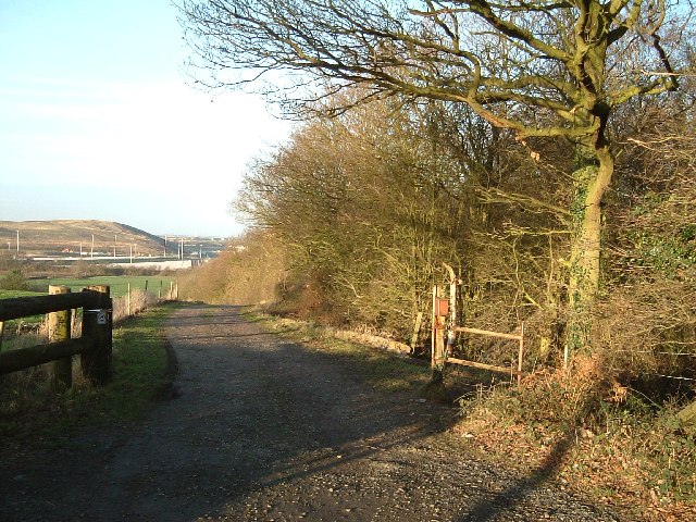
Track by the side of Biddle's Wood
Introduction
The photograph on this page of Track by the side of Biddle's Wood by Rob Farrow as part of the Geograph project.
The Geograph project started in 2005 with the aim of publishing, organising and preserving representative images for every square kilometre of Great Britain, Ireland and the Isle of Man.
There are currently over 7.5m images from over 14,400 individuals and you can help contribute to the project by visiting https://www.geograph.org.uk

Image: © Rob Farrow Taken: 21 Jan 2006
The Get-a-Map 1:25000 doesn't name this wood (on the right), but on my old map it is called Biddle's Wood. In the distance can be seen new development and behind that a man-made hill caused by old mine workings. This area is riddled with old mine shafts and mining used to be a big employer in the area. Now there is only one mine left anywhere near (to my knowledge) and that's the supermine at Daw Mill some miles away towards Coventry.

