The Loving Lamb, Netherton
Introduction
The photograph on this page of The Loving Lamb, Netherton by Brian Clift as part of the Geograph project.
The Geograph project started in 2005 with the aim of publishing, organising and preserving representative images for every square kilometre of Great Britain, Ireland and the Isle of Man.

There are currently over 7.5m images from over 14,400 individuals and you can help contribute to the project by visiting https://www.geograph.org.uk
The Loving Lamb, Netherton
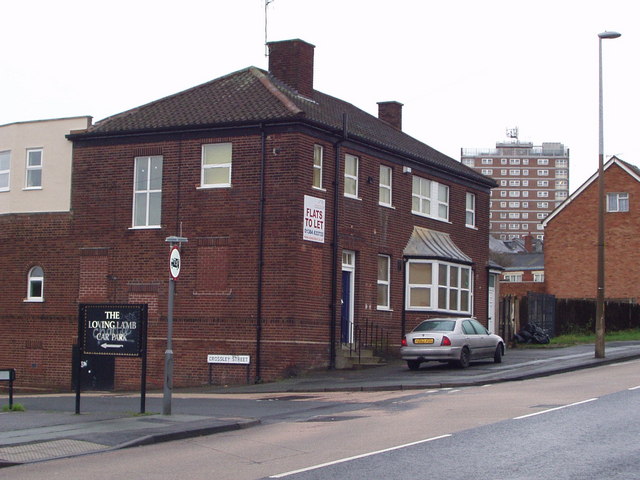
Image: © Brian Clift Taken: 31 Dec 2006
This ex public house is located on Northfield Road at its junction with Crossley Street, Netherton.
Images are licensed for reuse under creativecommons.org/licenses/by-sa/2.0
Image Location


Leaflet Map data © OpenStreetMap
Latitude
52.489796
Longitude
-2.081251