The end of the road
Introduction
The photograph on this page of The end of the road by Oxymoron as part of the Geograph project.
The Geograph project started in 2005 with the aim of publishing, organising and preserving representative images for every square kilometre of Great Britain, Ireland and the Isle of Man.

There are currently over 7.5m images from over 14,400 individuals and you can help contribute to the project by visiting https://www.geograph.org.uk
The end of the road
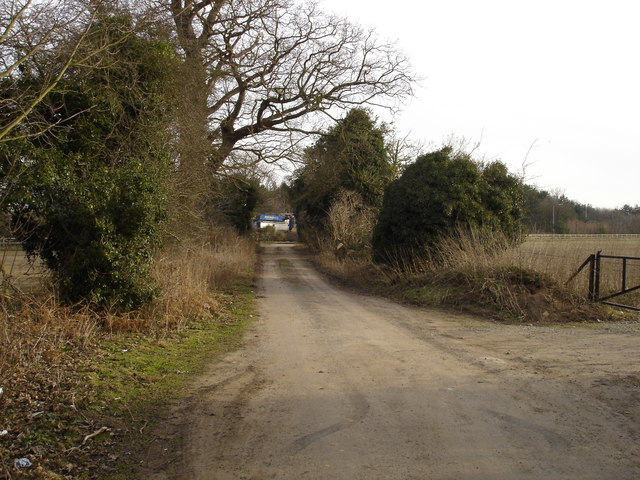
Image: © Oxymoron Taken: 4 Jan 2009
This narrow country lane (unnamed, as far as I can see) wends its way north-east from Felixstowe Road for a few hundred metres before being brutally terminated by the A14; the flash of blue in the distance in the centre of the photo is a lorry passing on the main road.
Images are licensed for reuse under creativecommons.org/licenses/by-sa/2.0
Image Location
Latitude
52.026855
Longitude
1.25007