Clydfannau farm and valley
Introduction
The photograph on this page of Clydfannau farm and valley by Peter Lymer as part of the Geograph project.
The Geograph project started in 2005 with the aim of publishing, organising and preserving representative images for every square kilometre of Great Britain, Ireland and the Isle of Man.

There are currently over 7.5m images from over 14,400 individuals and you can help contribute to the project by visiting https://www.geograph.org.uk
Clydfannau farm and valley
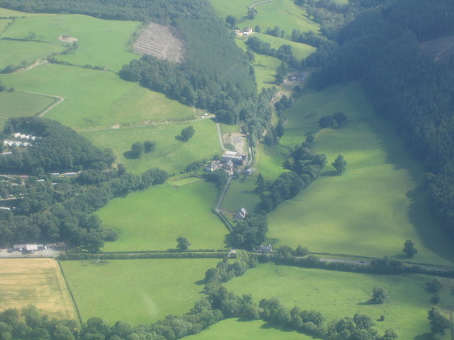
Image: © Peter Lymer Taken: 7 Jul 2007
Valley of Nant y Bradnant flowing North to Clydfannau Bridge (on A470), and then into River Severn.
Images are licensed for reuse under creativecommons.org/licenses/by-sa/2.0
Image Location
Latitude
52.452664
Longitude
-3.496513