Caxton Lane and Chartlands Farm
Introduction
The photograph on this page of Caxton Lane and Chartlands Farm by Hugh Craddock as part of the Geograph project.
The Geograph project started in 2005 with the aim of publishing, organising and preserving representative images for every square kilometre of Great Britain, Ireland and the Isle of Man.

There are currently over 7.5m images from over 14,400 individuals and you can help contribute to the project by visiting https://www.geograph.org.uk
Caxton Lane and Chartlands Farm
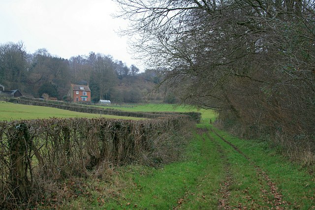
Image: © Hugh Craddock Taken: 1 Jan 2009
The ridge is threaded with green lanes: within a distance of about one kilometre, there are: Image, bridleway 54, Caxton Lane and Image In older times, they perhaps would have been far from green, with livestock being taken up and down from the common grazing on the wastes of Limpsfield to the inclosed fields below the ridge.
Images are licensed for reuse under creativecommons.org/licenses/by-sa/2.0
Image Location
Latitude
51.243958
Longitude
0.041601