Field view
Introduction
The photograph on this page of Field view by Peter Shaw as part of the Geograph project.
The Geograph project started in 2005 with the aim of publishing, organising and preserving representative images for every square kilometre of Great Britain, Ireland and the Isle of Man.

There are currently over 7.5m images from over 14,400 individuals and you can help contribute to the project by visiting https://www.geograph.org.uk
Field view
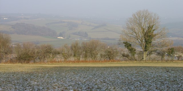
Image: © Peter Shaw Taken: 2 Jan 2009
View over valley on a cold January day with the frost still lingering in the shade. Below and out of view are the main A40 west of Carmarthen and Cors-goch http://www.geograph.org.uk/photo/377864 .
Images are licensed for reuse under creativecommons.org/licenses/by-sa/2.0
Image Location
Latitude
51.838464
Longitude
-4.371687