Bridge near Honeybourne Airfield.
Introduction
The photograph on this page of Bridge near Honeybourne Airfield. by George Osborn as part of the Geograph project.
The Geograph project started in 2005 with the aim of publishing, organising and preserving representative images for every square kilometre of Great Britain, Ireland and the Isle of Man.

There are currently over 7.5m images from over 14,400 individuals and you can help contribute to the project by visiting https://www.geograph.org.uk
Bridge near Honeybourne Airfield.
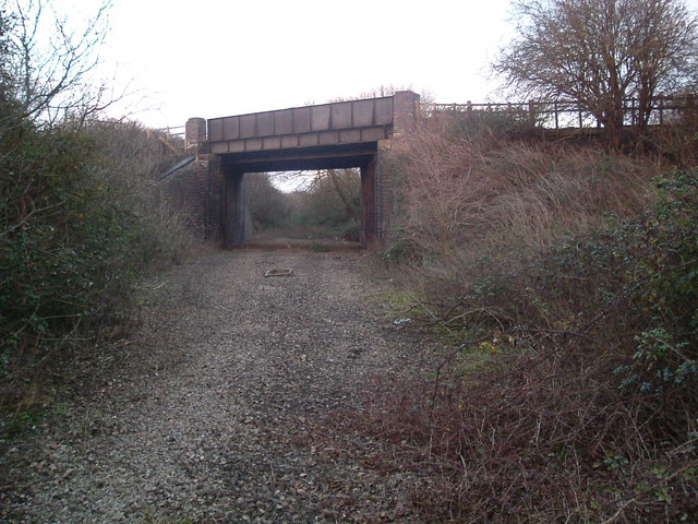
Image: © George Osborn Taken: 28 Dec 2008
The Railway line closed in 1976, the Airfield long before that, but the Roman road (Ryknield Street) which crosses this bridge is still in heavy use.
Images are licensed for reuse under creativecommons.org/licenses/by-sa/2.0
Image Location
Latitude
52.077673
Longitude
-1.826025