Pensnett & Bromley Liberal Club
Introduction
The photograph on this page of Pensnett & Bromley Liberal Club by Brian Clift as part of the Geograph project.
The Geograph project started in 2005 with the aim of publishing, organising and preserving representative images for every square kilometre of Great Britain, Ireland and the Isle of Man.

There are currently over 7.5m images from over 14,400 individuals and you can help contribute to the project by visiting https://www.geograph.org.uk
Pensnett & Bromley Liberal Club
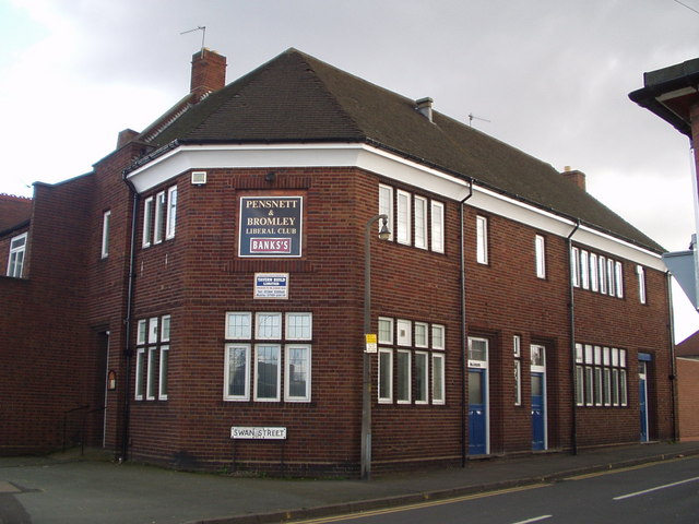
Image: © Brian Clift Taken: 1 Mar 2007
Located on High Street at its junction with Swan Street Pensnett.
Images are licensed for reuse under creativecommons.org/licenses/by-sa/2.0
Image Location
Latitude
52.500359
Longitude
-2.131945